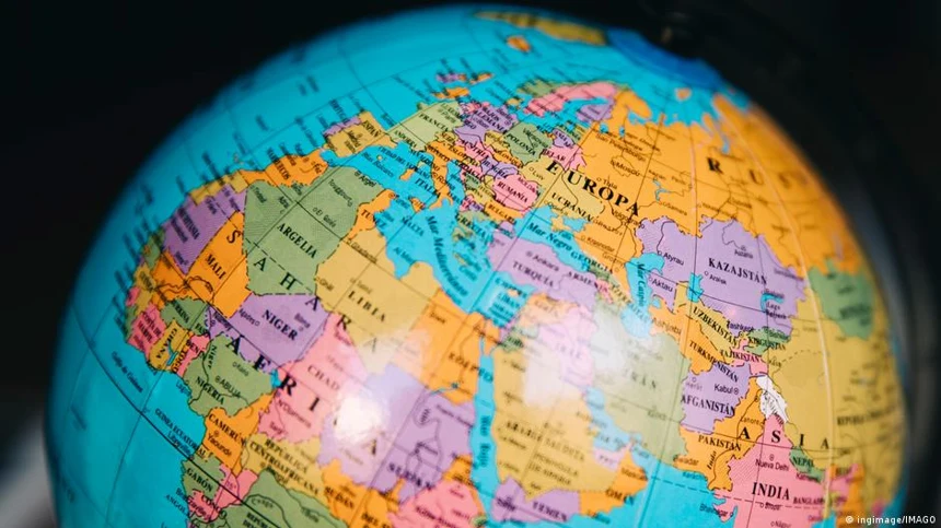
The United Nations General Assembly approved a resolution backing the Equal Earth map projection, which shows continental landmasses at more accurate relative sizes, with 164 countries voting in favor. The United States was the only nation to vote against the measure, while Estonia, Georgia, Lithuania, Morocco, Serbia and Ukraine abstained. The resolution, led by several African nations including Togo, promotes the Equal Earth projection as a more truthful alternative to the 16th-century Mercator projection, which inflates the size of regions near the poles and shrinks equatorial ones. Under Mercator, Greenland appears nearly as large as Africa, though Africa is actually about 14 times bigger.
Togo's foreign minister, Robert Dussey, said maps "shape our understanding of the world" and are not neutral, adding that his country plans to replace Mercator-based maps in schools by year's end. French Foreign Minister Jean-Noel Barrot said the Mercator projection gives disproportionate visual weight to nations like the U.S., Russia and China, while diminishing Africa, Latin America and Southeast Asia. The resolution emphasizes that the Equal Earth map does not challenge the Mercator's use in navigation, where its accuracy in angles remains valuable. A U.S. representative, Yaryna Ferencevych, argued the initiative advances an "ideological agenda" and distracts from pressing global issues. The vote is non-binding, encouraging but not requiring member states to adopt the new projection.
The U.S. stands alone in rejecting a map update that corrects long-standing visual distortions disadvantaging Africa, even as former colonial powers like France support the change. This opposition frames cartographic accuracy as a distraction, while the resolution itself treats map design as part of broader perceptual justice. Togo's plan to adopt the Equal Earth map in schools by year's end signals a tangible shift in how geographic knowledge is transmitted.
Editorial note: AI-assisted opinion, not established fact. Full disclaimer →